Exploring Jhapa District: A Glimpse of Nepal's Eastern Gem
Let's explore Jhapa District, Nepal’s "Granary," known for agriculture, tea gardens, rivers, festivals, rich culture, and trade hubs
Introduction
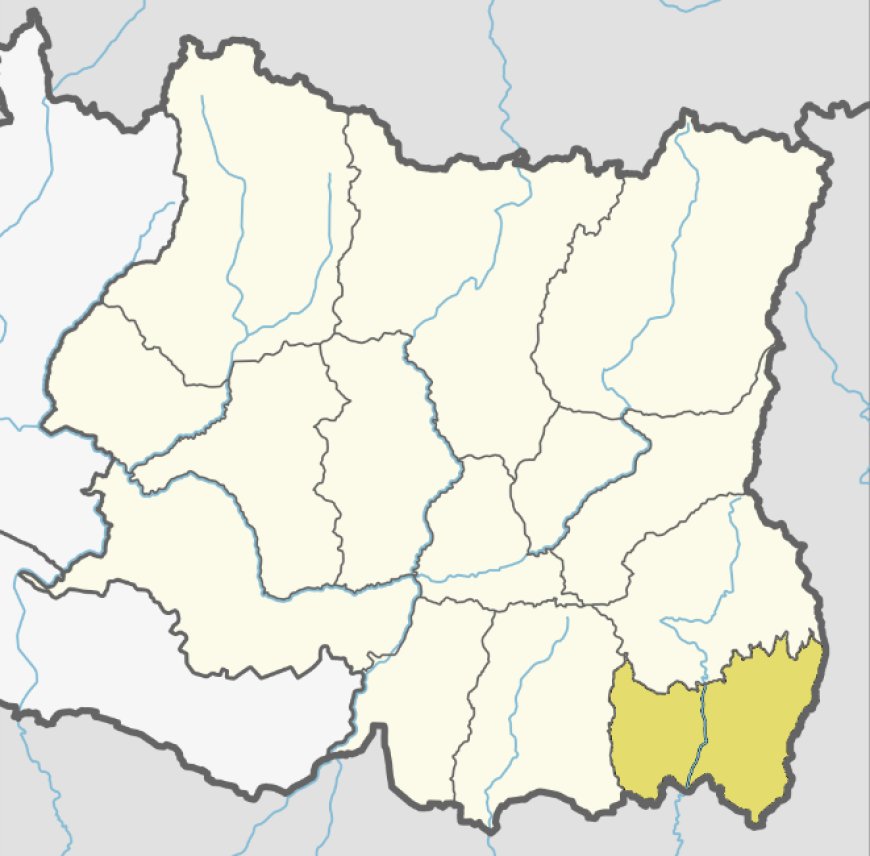
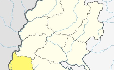
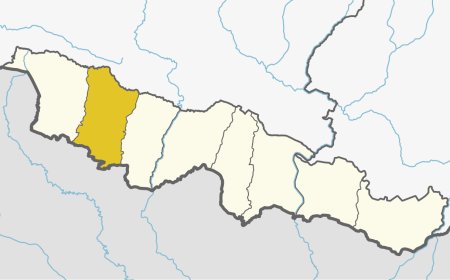
Jhapa District represents a vibrant mosaic of cultures, landscapes, and economic activities, situated in the southeastern corner of Nepal. Renowned as the "Granary of Nepal," this district is not only rich in fertile lands but also possesses a blend of ethnic diversity with a rich historical backdrop. With its proximity to India and Bhutan, This district holds a strategic position both geographically and economically, making it an essential part of Nepal's eastern region. Being a border district, it has been an important entry point in terms of trade and cultural exchange. The district is well-connected with major cities within Nepal and neighboring countries, further enhancing its accessibility and importance.
Geographical Overview of Jhapa
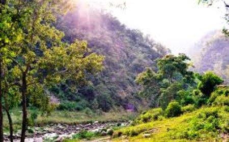
Spread over the fertile plains of the Terai region, The district covers an area of 1,606 square kilometers. Dominated by lush agricultural fields, interspersed with dense forests and rivers adding to its scenic beauty, the district's geographical topography supports various types of flora and fauna, making it a biodiversity hot-spot.
It is tropical to subtropical, suitable for agriculture and different types of cash crops like tea, betel nuts, and cardamom. The major rivers, which include Mechi, Kankai, and Ratu, provide irrigation and help maintain aquatic ecosystems.
Table: Geographical Features of Jhapa
|
Feature |
Data |
|
Total Area (sq. km) |
1,606 |
|
Altitude Range(m) |
58–415 |
|
Major Rivers |
Mechi, Kankai, Ratu |
|
Climatic Conditions |
Tropical, Subtropical |
Demographics
Its is a melting pot of various ethnic and cultural communities. Its population, as of the last census, is over 800,000, comprising diverse groups that contribute to its rich cultural fabric. The harmonious coexistence of multiple ethnicities like Limbu, Brahmin, Chhetri, Rai, and others reflects the district’s inclusive ethos.
It also has a significant population of Madhesi communities, which add to its cultural vibrancy. The district’s multi-linguistic nature includes languages like Nepali, Maithili, Tharu, and Limbu. Such diversity enriches the social and cultural dynamics of the region.
Table: Ethnic Composition of Jhapa
|
Ethnic Group |
Percentage (%) |
|
Limbu |
25% |
|
Brahmin |
20% |
|
Chhetri |
18% |
|
Rai |
15% |
|
Other Groups |
22% |
Cultural and Historical Significance
Jhapa’s cultural vibrancy is reflected in its festivals, traditional practices, and historical landmarks. The district is known for hosting diverse cultural events that celebrate the heritage of its various communities. Traditional dances like Dhan Naach (Limbu) and Sakela (Rai) are performed during festivals, adding color and life to the district’s cultural landscape.
The district has a rich history, with remnants of ancient trade routes and settlements that hint at its historical significance. The district has been a melting pot of cultures due to its location on the historical Silk Road. Modern-day Jhapa continues to honor its history through the preservation of sites like the Kankai Mai temple, which attracts devotees from across the region.
Table: Key Festivals in Jhapa
|
Festival |
Month |
Significance |
|
Chasok Tangnam |
November |
Limbu community harvest festival |
|
Dashain |
October |
Hindu festival of victory |
|
Tihar |
November |
Festival of lights |
|
Holi |
March |
Festival of colors |
Major Attractions and Activities
The district's unique geography and cultural richness make it a tourist’s delight. From natural beauty to cultural landmarks, the district offers something for everyone. The Kankai River, considered sacred by Hindus, provides opportunities for spiritual retreats and nature exploration. Similarly, the Jamunkhadi Eco Park is a haven for biodiversity enthusiasts.
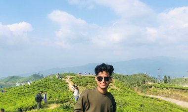
Kechana Kalan, the lowest point in Nepal, is another unique geographical feature that attracts visitors. The tea gardens, particularly in the northern areas bordering Ilam, offer stunning vistas and a chance to experience Nepal’s tea culture. Visitors can also enjoy traditional local cuisine, featuring dishes made from freshly harvested produce.
Table: Major Attractions
|
Attraction |
Location |
Highlight |
|
Kankai River |
Surunga |
Sacred river for Hindus |
|
Jamunkhadi Eco Park |
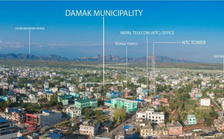
Damak |
Biodiversity and eco-tourism |
|
Kechana Kalan |
Southern Jhapa |
Nepal’s lowest point (58 m) |
|
Arjundhara Temple |
Arjundhara |
Historic Hindu temple |
|
Tea Gardens |
Northern Jhapa |
Scenic landscapes |
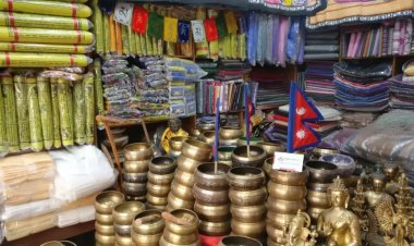
This district also offers activities like bird watching, hiking, and exploring local crafts markets. The district is becoming an emerging destination for eco-tourism, attracting travelers who value sustainability and local experiences.
Economic Overview
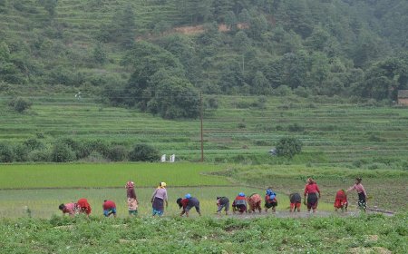
Agriculture is the backbone of Jhapa’s economy, with rice, maize, and tea being the primary crops. The district’s nickname, the "Granary of Nepal," aptly reflects its contribution to the country’s food supply. It's fertile plains support high yields of crops, ensuring food security for the nation.
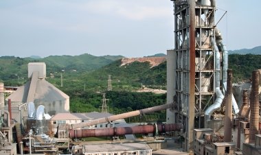
In addition to agriculture, this district has seen growth in industries such as tea processing, plywood production, and textiles. The industrial hubs of Birtamod and Damak house several small and medium enterprises that contribute to the district’s economic output. The district also benefits from remittances, as many residents work abroad, primarily in the Middle East and Southeast Asia.
The district’s strategic location near international borders facilitates trade, especially through the Kakarbhitta border crossing, which serves as a gateway for goods entering and exiting Nepal. This has positioned the district as an economic powerhouse in the eastern region.
Conclusion
The district's strategic location, cultural diversity, and economic significance make it a vital part of Nepal’s landscape. Whether you are a history enthusiast, a nature lover, or a cultural explorer, this district in nepal offers an unforgettable experience. Its blend of tradition and modernity stands as a testament to Nepal’s eastern charm. From its sacred rivers and vibrant festivals to its agricultural prowess and industrial growth, Thia district exemplifies the harmonious coexistence of tradition and progress. A visit to Jhapa is not just a journey through one of Nepal’s most important districts but a deep dive into the heart of its eastern identity.
Frequently Asked Questions (FAQ's)
1. What is Jhapa District known as, and why?
Jhapa is called the "Granary of Nepal" due to its high agricultural productivity.
2. Where is Jhapa District located?
It is in southeastern Nepal, bordering India and Bhutan.
3. What is the area and altitude range of Jhapa?
Jhapa spans 1,606 sq. km with an altitude range of 58–415 meters.
4. Which major rivers flow through Jhapa?
The Mechi, Kankai, and Ratu rivers.
5. What are the main ethnic groups here?
Limbu, Brahmin, Chhetri, Rai, and Madhesi communities.
6. What are Jhapa's cultural highlights?
Sites like Kankai Mai temple and festivals such as Dashain and Chasok Tangnam.
7. What makes Jhapa a tourist destination?
Attractions like Kechana Kalan, tea gardens, and Jamunkhadi Eco Park.
8. What drives Jhapa’s economy?
Agriculture, tea production, industries, and cross-border trade.
9. Why is Jhapa strategically important?
Its location near India and Bhutan makes it vital for trade and cultural exchange.
What's Your Reaction?


