Ramechhap: A Gateway to the Everest Region and Himalayan Bea
Let's explore Ramechhap, a district offering beautiful landscapes, trekking routes, and being a gateway to Everest, attracting adventure seekers & nature lovers
Introduction
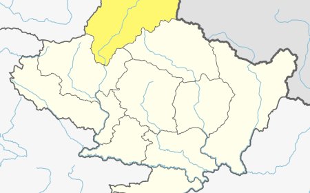
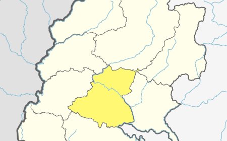
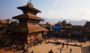
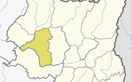
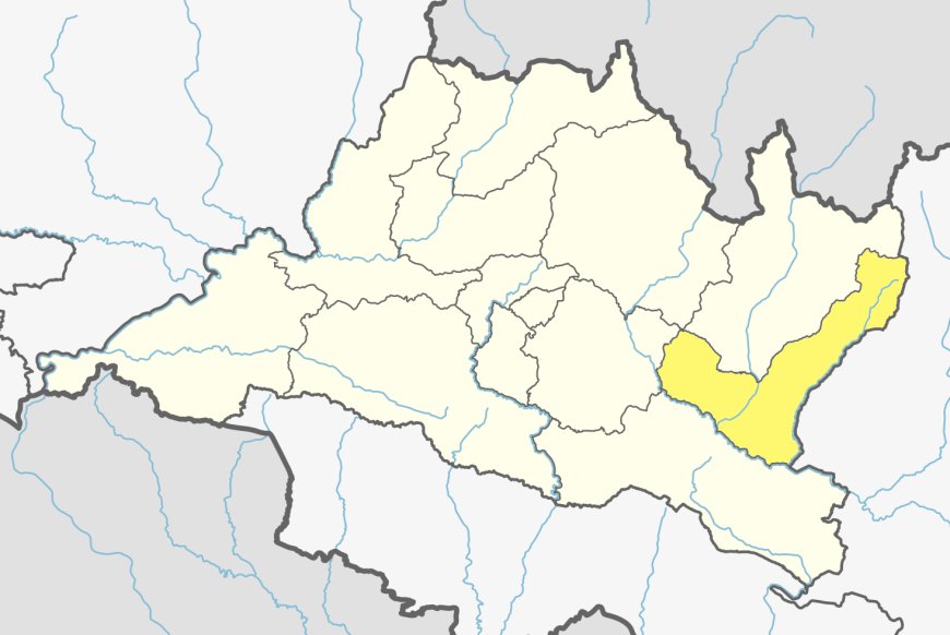
Ramechhap is a beautiful district located in the eastern part of Nepal, known for its natural splendor, cultural vibrancy, and historical significance. It lies in Bagmati Province and serves as a captivating destination for those seeking to explore Nepal's rural charm. This district is the gateway to popular trekking routes and cultural landmarks, offering a harmonious blend of undulating landscapes, traditional settlements, and rich heritage. With its picturesque valleys, historic temples, and welcoming communities, This district has much to offer to travelers and adventurers alike.
Geographical Overview
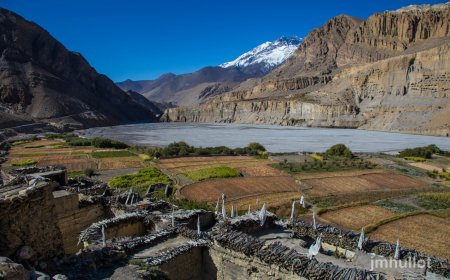
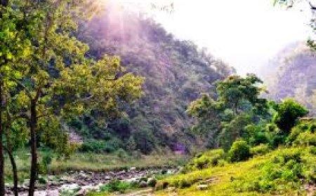
This districtspans an area of 1,546 square kilometers, featuring a diverse topography that includes lush hills, serene rivers, and verdant forests. The district’s elevation ranges from 488 meters to 6,187 meters, encompassing various climatic zones from subtropical lowlands to alpine highlands. This varied geography supports a range of flora and fauna, making this districta haven for nature enthusiasts.
The Tamakoshi River, a prominent waterway, flows through the district, contributing to agriculture, hydropower, and biodiversity. The district’s favorable climatic conditions enhance its agricultural productivity and ecological richness.
Table: Geographical Features
|
Feature |
Data |
|
Total Area (sq. km) |
1,546 |
|
Altitude Range (m) |
488–6,187 |
|
Major Rivers |
Tamakoshi, Sunkoshi |
|
Climatic Conditions |
Subtropical to Alpine |
Demographics
This districtis home to approximately 202,000 people, representing a mosaic of ethnicities and cultures. The Tamang community constitutes the largest group, followed by other ethnicities such as Chhetri, Brahmin, and Newar. The district’s cultural diversity is reflected in its festivals, traditional attire, and local languages. While Nepali is widely spoken, Tamang, Newari, and other indigenous languages enrich the linguistic landscape of this district.
Table: Ethnic Composition
|
Ethnic Group |
Percentage (%) |
|
Tamang |
40% |
|
Chhetri |
25% |
|
Brahmin |
20% |
|
Newar |
15% |
Cultural and Historical Significance
This district has a vibrant cultural and spiritual heritage. The Tamang community celebrates the Lhosar festival with zeal, marking the Tibetan New Year with traditional dances, feasts, and rituals. Dashain and Tihar, widely celebrated Hindu festivals, highlight the district’s harmonious blend of cultures.
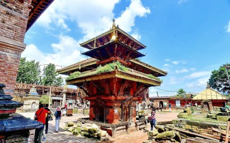
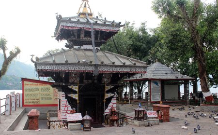
This district is also renowned for its historical and religious sites. The Manthali Temple, situated in the district headquarters of Manthali, holds immense religious significance. Similarly, the Sailung Hills, revered by both Hindus and Buddhists, offer a spiritual retreat along with breathtaking views of the Himalayas.
Table: Key Festivals
|
Festival |
Month |
Significance |
|
Lhosar |
February |
Tibetan New Year celebrated by Tamang |
|
Dashain |
October |
Hindu festival symbolizing good over evil |
|
Tihar |
November |
Festival of lights |
|
Maghe Sankranti |
January |
Harvest festival welcoming warmer days |
Major Attractions and Activities
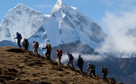
This district's natural beauty and cultural landmarks make it a sought-after destination for nature lovers and cultural explorers. The Sailung Hills stand out as a popular attraction, offering panoramic views of the Himalayan range and a tranquil environment for meditation and trekking. Another significant site is the Doramba, a historically and culturally important village known for its Tamang heritage.
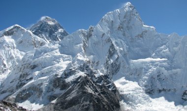
The district is also a gateway to the Everest region, as many trekkers prefer the Manthali Airport for their flights to Lukla. Additionally, the Tamakoshi River provides opportunities for white-water rafting and fishing.
Table: Major Attractions
|
Attraction |
Location |
Highlight |
|
Sailung Hills |
Western Ramechhap |
Panoramic Himalayan views and spiritual sites |
|
Manthali Temple |
Manthali |
Sacred Hindu temple |
|
Doramba Village |
Central Ramechhap |
Tamang culture and traditions |
|
Tamakoshi River |
Across Ramechhap |
Scenic beauty and water activities |
This district offers a plethora of activities such as trekking, bird watching, and cultural immersion. The district emphasizes eco-tourism, ensuring sustainable practices that preserve its natural and cultural heritage.
Economic Overview
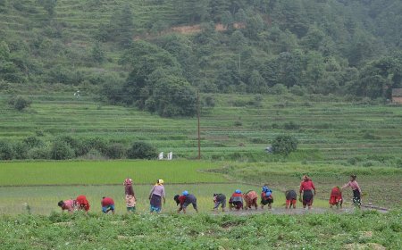
Agriculture is the cornerstone of Ramechhap’s economy, with crops like maize, millet, and barley being predominant. Livestock farming also contributes significantly to the livelihoods of local communities. Cardamom and ginger serve as high-value cash crops, boosting the district’s agricultural income.
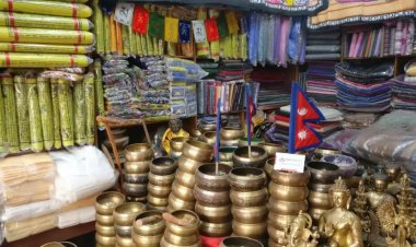
Tourism is steadily emerging as an economic driver, supported by the district’s proximity to trekking routes and cultural sites. Traditional crafts, such as bamboo weaving and pottery, further contribute to the local economy while preserving indigenous skills.
Table: Economic Highlights
|
Sector |
Contribution |
|
Agriculture |
Maize, millet, barley, cardamom, and ginger |
|
Tourism |
Sailung Hills, Manthali Temple, trekking hub |
|
Traditional Crafts |
Bamboo weaving, pottery |
Conclusion
Ramechhap is a captivating district that seamlessly blends natural beauty, cultural richness, and economic potential. From the spiritual allure of Sailung Hills to the historical charm of Doramba, this district offers a unique experience for visitors. Whether you are drawn by its serene landscapes, vibrant traditions, or warm hospitality, this district is sure to leave an enduring impression. As a district committed to eco-tourism and cultural preservation, this district beckons travelers to explore its hidden treasures and create unforgettable memories.
Frequently Asked Questions (FAQs)
1. Where is Ramechhap located?
Ramechhap is situated in the eastern part of Nepal, in Bagmati Province.
2. What is Ramechhap best known for?
The district is known for the Sailung Hills, cultural landmarks, and its role as a gateway to the Everest region.
3. Which rivers flow through Ramechhap?
The Tamakoshi and Sunkoshi rivers are the major rivers in Ramechhap.
4. What is the dominant ethnic group in Ramechhap?
The Tamang community is the largest ethnic group in the district.
5. What are the major crops grown in Ramechhap?
Maize, millet, barley, cardamom, and ginger are the primary crops grown in Ramechhap.
6. What is the best time to visit Ramechhap?
Spring (March to May) and autumn (September to November) are ideal for visiting Ramechhap.
7. What cultural festival is celebrated by the Tamang community?
The Tamang community celebrates Lhosar to mark the Tibetan New Year.
8. What is the significance of the Sailung Hills?
The Sailung Hills are a sacred site offering panoramic views and a spiritual retreat.
9. Why is Ramechhap important for trekkers?
Ramechhap serves as a gateway to the Everest region, with Manthali Airport facilitating access to trekking routes.
What's Your Reaction?


