Rautahat: A Blend of Cultural Heritage and Natural Beauty
Let’s discover Rautahat, Nepal—home to Shree Ram Mandir, Bagmati River, vibrant festivals like Chhath, and a rich tapestry of ethnic traditions.
Introduction

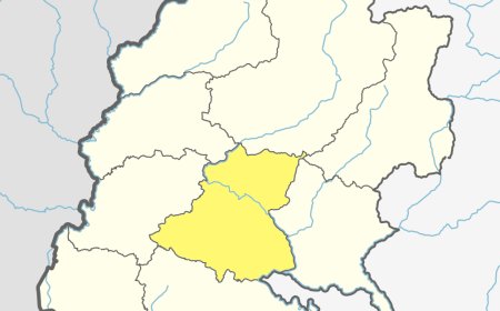
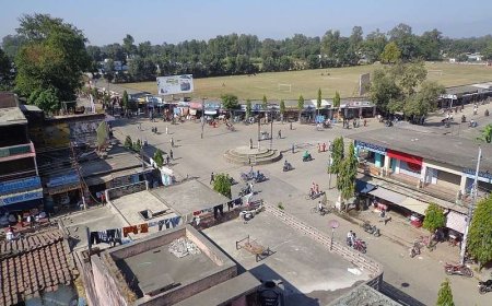
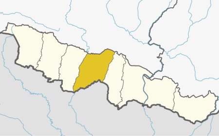
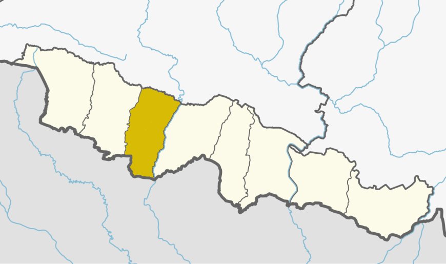
Rautahat is a fascinating district in the southern Terai region of Nepal, celebrated for its rich cultural heritage, fertile plains, and vibrant traditions. Located in Madhesh Province, This district serves as an essential hub of agricultural activity, historical significance, and multicultural harmony. The district headquarters, Gaur, is a lively town that reflects the essence of the region. This district is a treasure trove for history enthusiasts, cultural explorers, and those seeking to experience the essence of Nepal’s diverse society. With its vast paddy fields, ancient temples, and a tapestry of ethnic communities, This district offers an unforgettable journey into the heart of the Terai.
Geographical Overview
Spanning an area of 1,126 square kilometers, This district is characterized by its flat, fertile landscape, ideal for agriculture. The district lies at an elevation ranging from 61 to 305 meters above sea level, making it one of the most accessible and agriculturally productive regions in Nepal.
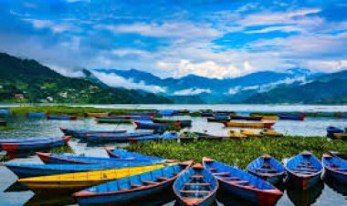
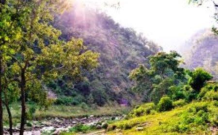
The Bagmati River flows through the district, providing irrigation and supporting aquatic biodiversity. The subtropical climate, with hot summers and mild winters, ensures the prosperity of diverse flora and fauna, as well as thriving agricultural practices.
Table: Geographical Features
|
Feature |
Data |
|
Total Area (sq. km) |
1,126 |
|
Altitude Range (m) |
61–305 |
|
Major River |
Bagmati |
|
Climatic Conditions |
Subtropical |
Demographics
This district is home to a population of approximately 686,000 people, representing a rich mosaic of ethnic and cultural diversity. The district’s dominant communities include the Madhesi, Tharu, and Muslim populations, alongside various indigenous groups.
Maithili is the most widely spoken language, followed by Bhojpuri, Nepali, and Urdu, showcasing the linguistic variety of the region. Traditional festivals, such as Chhath and Eid, highlight the district’s harmonious coexistence of religions and cultures.
Table: Ethnic Composition
|
Ethnic Group |
Percentage (%) |
|
Madhesi |
50% |
|
Tharu |
25% |
|
Muslim |
15% |
|
Other Groups |
10% |
Cultural and Historical Significance
This district boasts a wealth of cultural and historical landmarks. The district is renowned for its vibrant celebrations of festivals like Chhath, a worship of the Sun God that draws devotees from across the country. Similarly, Eid is observed with great enthusiasm by the Muslim community, fostering unity and joy.
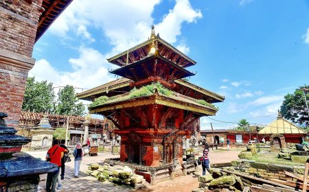
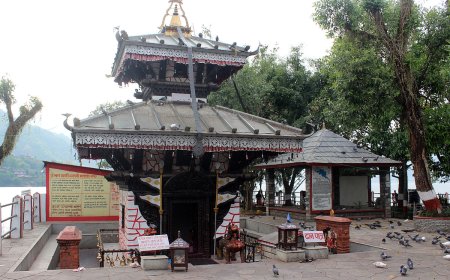
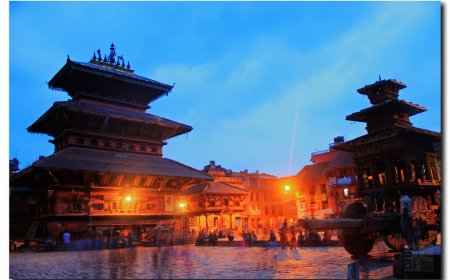
This district is also home to the historic Shree Ram Mandir in Gaur, a significant Hindu temple dedicated to Lord Rama. The temple is not only a spiritual site but also an architectural marvel. Furthermore, the district holds a rich tradition of oral history, passed down through generations, adding to its cultural richness.
Table: Key Festivals
|
Festival |
Month |
Significance |
|
Chhath |
November |
Worship of the Sun God |
|
Eid |
Varies |
Islamic festival of unity and charity |
|
Holi |
March |
Festival of colors celebrated with zeal |
|
Dashain |
October |
Hindu festival symbolizing good over evil |
Major Attractions and Activities
This district’s blend of natural beauty and cultural landmarks makes it a captivating destination. The Bagmati River offers scenic beauty and opportunities for fishing and boating. The Shree Ram Mandir in Gaur attracts pilgrims and tourists alike, offering a serene spiritual experience.
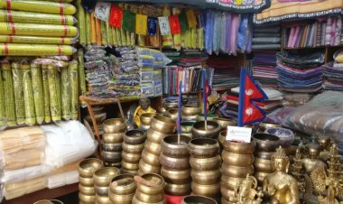
Other notable attractions include the vibrant local markets where visitors can explore traditional crafts, and the rural villages where one can experience authentic Terai culture. For nature enthusiasts, the wetlands and forested areas provide a habitat for diverse bird species, making bird-watching a popular activity.
Table: Major Attractions
|
Attraction |
Location |
Highlight |
|
Shree Ram Mandir |
Gaur |
Historic Hindu temple dedicated to Lord Rama |
|
Bagmati River |
Central Rautahat |
Scenic beauty and aquatic activities |
|
Local Markets |
Gaur and Villages |
Traditional crafts and local produce |
|
Forested Wetlands |
Southern Rautahat |
Bird-watching and biodiversity |
Economic Overview
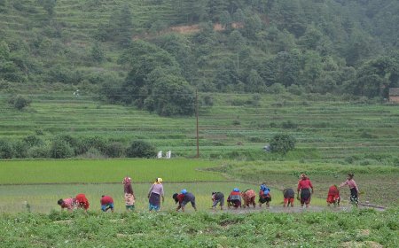
Agriculture is the backbone of this district’s economy, with rice, wheat, and sugarcane as the primary crops. The fertile plains, combined with an extensive irrigation network, make the district one of Nepal’s most productive agricultural regions. The cultivation of mangoes and other fruits adds to its agrarian economy.
In addition to farming, traditional crafts like pottery and weaving contribute to the local economy. Emerging sectors such as small-scale industries and trade with neighboring India further boost economic activities. Tourism, driven by cultural festivals and historical sites, is gradually gaining momentum as well.
Table: Economic Highlights
|
Sector |
Contribution |
|
Agriculture |
Rice, wheat, sugarcane, and mangoes |
|
Traditional Crafts |
Pottery and weaving |
|
Tourism |
Festivals, Shree Ram Mandir, and local culture |
Conclusion
Rautahat is a district that harmonizes cultural richness, historical depth, and economic vitality. From the vibrant festivals like Chhath and Eid to the serene beauty of the Bagmati River, the district offers a unique blend of spirituality and natural charm. Whether it’s exploring the historic Shree Ram Mandir, engaging with the warmth of local communities, or enjoying the fertile plains’ bounty, this district promises an enriching experience for every visitor. As a gateway to the soul of the Terai, Rautahat continues to thrive as a beacon of Nepal’s diversity and resilience.
Frequently Asked Questions (FAQ's)
1. Where is Rautahat located?
Rautahat is situated in the southern Terai region of Nepal, within Madhesh Province.
2. What is Rautahat best known for?
The district is renowned for its cultural festivals like Chhath and its historical sites such as Shree Ram Mandir.
3. Which river flows through Rautahat?
The Bagmati River is the major river in Rautahat.
4. What is the dominant ethnic group in Rautahat?
The Madhesi community forms the largest ethnic group in the district.
5. What are the primary crops grown in Rautahat?
Rice, wheat, sugarcane, and mangoes are the main crops grown in Rautahat.
6. What is the best time to visit Rautahat?
Autumn (October to November) and spring (March to April) are the best seasons to visit Rautahat.
7. What cultural festival is celebrated by the Madhesi community?
The Madhesi community celebrates Chhath to worship the Sun God.
8. What is the significance of Shree Ram Mandir?
Shree Ram Mandir is a historic temple dedicated to Lord Rama and is a spiritual and architectural marvel.
9. What makes Rautahat unique?
Rautahat’s cultural diversity, fertile plains, and historical landmarks make it a unique and vibrant district.
What's Your Reaction?


