Sarlahi: Land of Agriculture, Rivers, and Cultural Festivial
Let’s discover Sarlahi, a vibrant district in Nepal's Madhesh Province, celebrated for its fertile lands, diverse culture, and scenic beauty.
Introduction

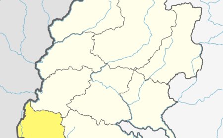
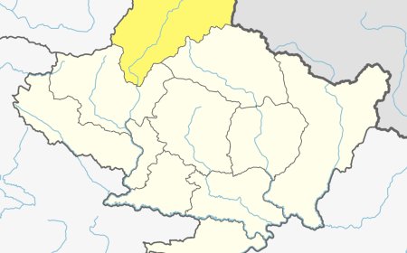
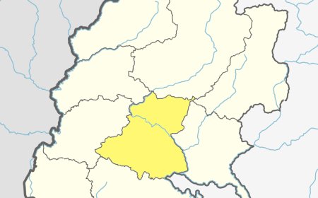
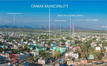
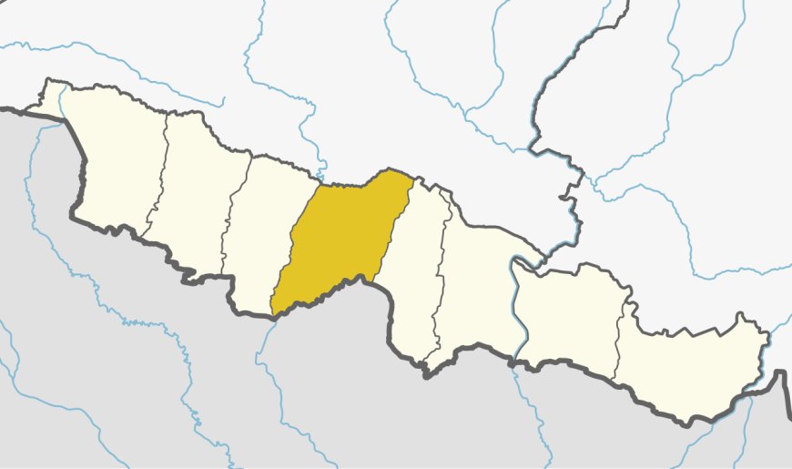
Sarlahi is a charming district located in the southern part of Nepal, renowned for its fertile plains, cultural diversity, and historical significance. It lies in Madhesh Province and is bordered by the Bagmati River to the west and the Indian state of Bihar to the south. Known for its vibrant agriculture, traditional festivals, and warm hospitality, This district offers a unique blend of natural beauty and cultural richness. The district headquarters is located in Malangawa, making it a central hub for administrative and cultural activities. With its serene landscapes, rich heritage, and welcoming communities, this district is a captivating destination yet to be widely explored.
Geographical Overview
This district covers an area of 1,259 square kilometers and is characterized by flat terrain, fertile soil, and tropical climate conditions. The district’s elevation ranges from 60 meters to 300 meters above sea level, making it ideal for agriculture and settlement.
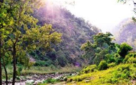
Rivers like the Bagmati, Lakhandei, and Jhim separate the land into fertile patches, supporting extensive agricultural activities and enhancing the district’s natural beauty. The subtropical climate, marked by hot summers and mild winters, fosters diverse ecosystems, including wetlands and agricultural fields.
Table: Geographical Features
|
Feature |
Data |
|
Total Area (sq. km) |
1,259 |
|
Altitude Range (m) |
60–300 |
|
Major Rivers |
Bagmati, Lakhandei, Jhim |
|
Climatic Conditions |
Tropical |
Demographics
This district is home to approximately 770,000 people, comprising diverse ethnic and cultural groups. The Maithili and Bhojpuri communities form the majority, followed by Tharus, Muslims, and other indigenous groups. Nepali is the official language, but Maithili and Bhojpuri are widely spoken, reflecting the region’s rich linguistic heritage.
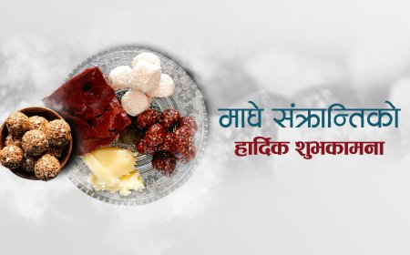
Festivals like Chhath, Holi, and Eid are celebrated with great enthusiasm, showcasing the district’s vibrant traditions. The multicultural environment of this district highlights its inclusive and harmonious society.
Table: Ethnic Composition
|
Ethnic Group |
Percentage (%) |
|
Maithili |
40% |
|
Bhojpuri |
30% |
|
Tharu |
15% |
|
Other Groups |
15% |
Cultural and Historical Significance
This district boasts a rich cultural and historical heritage. The district’s festivals, cuisine, and traditional attire reflect the deep-rooted customs of its people. Chhath, the most significant festival, involves worshipping the Sun God and is celebrated with fervor along the banks of rivers.
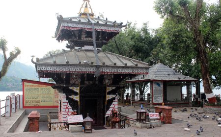
Historical landmarks such as the Kabilasi Temple and Hariwan Forest hold spiritual and ecological importance. The district is also known for its traditional Mithila art, which is expressed through intricate paintings and crafts.
Table: Key Festivals
|
Festival |
Month |
Significance |
|
Chhath |
November |
Worship of the Sun God and nature |
|
Holi |
March |
Festival of colors symbolizing unity |
|
Eid |
Varies |
Celebrated by the Muslim community |
|
Dashain |
October |
Hindu festival of victory and prosperity |
Major Attractions and Activities
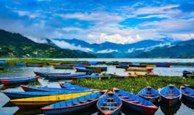
This district’s scenic beauty and cultural landmarks make it a fascinating destination for the visitors. The Bagmati River is a popular spot for boating and picnicking, while Hariwan Forest provides an excellent opportunity for nature walks and bird watching.
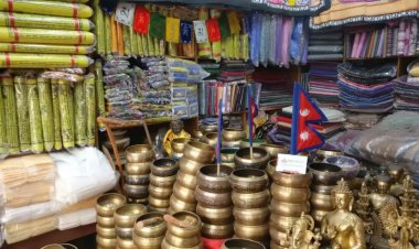
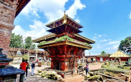
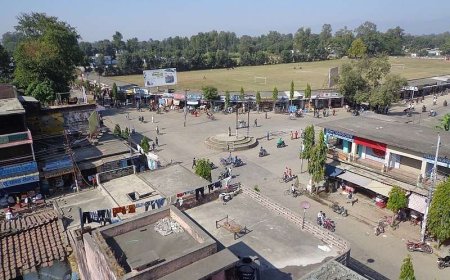
Kabilasi Temple, with its ancient architecture, draws both pilgrims and history enthusiasts. Additionally, the district’s bustling markets offer a glimpse into local life, featuring traditional crafts, Maithili cuisine, and fresh produce.
Table: Major Attractions
|
Attraction |
Location |
Highlight |
|
Bagmati River |
Western Sarlahi |
Scenic beauty and recreational activities |
|
Kabilasi Temple |
Kabilasi Village |
Ancient temple with historical significance |
|
Hariwan Forest |
Hariwan |
Nature walks and biodiversity |
|
Malangawa Market |
Malangawa |
Traditional crafts and Maithili cuisine |
The district offers numerous activities, such as attending traditional fairs, exploring cultural festivals, and participating in agricultural tours. With an emphasis on sustainable tourism, Sarlahi aims to preserve its natural and cultural assets for future generations.
Economic Overview
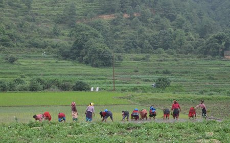
Agriculture is the backbone of this district’s economy, with rice, wheat, and sugarcane being the primary crops. The district is also a significant producer of vegetables and fruits, catering to local and national markets.
The emerging tourism sector is another vital contributor, supported by attractions like Kabilasi Temple and Hariwan Forest. Traditional crafts, including Mithila art and handwoven textiles, not only enhance the district’s cultural identity but also provide livelihood opportunities for local artisans.
Table: Economic Highlights
|
Sector |
Contribution |
|
Agriculture |
Rice, wheat, sugarcane, vegetables, fruits |
|
Tourism |
Religious sites, nature tours |
|
Traditional Crafts |
Mithila art, handwoven textiles |
Conclusion
Sarlahi is a district that beautifully combines natural splendor, cultural diversity, and economic vitality. Its fertile plains, vibrant festivals, and warm-hearted people make it a unique destination for travelers and cultural enthusiasts alike. Whether exploring the serene Bagmati River, marveling at the intricate Mithila art, or participating in the grand Chhath festival, visitors are bound to be captivated by the district’s charm. As this district continues to embrace sustainable practices, it promises a harmonious blend of tradition and progress, leaving a lasting impression on all who visit.
Frequently Asked Questions (FAQ's)
1. Where is Sarlahi located?
Sarlahi is situated in the southern part of Nepal, within Madhesh Province.
2. What is Sarlahi best known for?
The district is famous for its agricultural productivity and cultural festivals like Chhath.
3. Which rivers flow through Sarlahi?
The Bagmati, Lakhandei, and Jhim rivers flow through Sarlahi.
4. What is the dominant ethnic group in Sarlahi?
The Maithili community forms the largest ethnic group in the district.
5. What are the major crops grown in Sarlahi?
Rice, wheat, sugarcane, and vegetables are the primary crops grown in Sarlahi.
6. What is the best time to visit Sarlahi?
Autumn (October to November) and spring (March to May) are ideal seasons to visit Sarlahi.
7. What cultural festival is celebrated by the Maithili community?
The Maithili community celebrates Chhath, dedicated to the Sun God.
8. What is the significance of Kabilasi Temple?
Kabilasi Temple is an ancient religious site known for its spiritual and historical value.
9. What makes the Bagmati River special?
The Bagmati River is a scenic and culturally significant waterway offering recreational activities.
What's Your Reaction?


